Skip to content
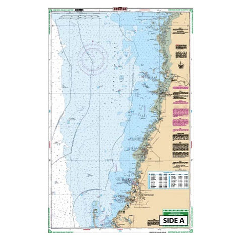
Waterproof Charts 45E Florida Honeymoon is to Bayport Waterproof Nautical Navigation Chart Map
- Florida Honeymoon is to Bayport Waterproof Nautical Navigation Chart Map
- A great chart that provides detailed coverage of the Anclote River and Tarpon Springs.
- Also provides details of the coast up to Chassahowitzka Bay.
- This chart covers the area in between Chart #31E and Chart #5E.
- GPS Waypoints are printed directly on the chart.
- If you want to plan a trip to Honeymoon Island, you just need this nautical map.
- This navigation map provides detailed coverage of the Anclote River and Tarpon Springs.
- Color: Multi-color
- Material: Polypropylene
- Manufacturer: “Waterproof Charts”
- Model Number: Navigation Chart Map
- Part Number: 45E
- Also Known As: ISS 45E


